Travel Guide of Burnsville in United States by Influencers and Travelers
Burnsville is a town and the county seat of Yancey County, North Carolina, United States. The population was 1,693 at the 2010 census.
The Best Things to Do and Visit in Burnsville
TRAVELERS TOP 10 :
- Pisgah National Forest
- Mitchell Falls
- Blue Ridge Mountains
- Black Balsam Knob
- Mount Mitchell
- Mount Mitchell
- Asheville
- Marion
- Biltmore Estate
- Hawksbill Mountain
1 - Pisgah National Forest
8 km away
Pisgah National Forest is a National Forest in the Appalachian Mountains of western North Carolina. It is administered by the United States Forest Service, part of the United States Department of Agriculture.
Learn more Book this experience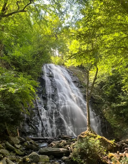
2 - Mitchell Falls
16 km away
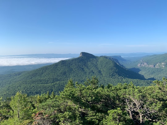
Mitchell Falls is a 25-foot waterfall located in Yancey County, North Carolina on the slope of Mount Mitchell, the highest mountain in the Appalachian Mountain chain and highest point in the eastern United States.
View on Google Maps Book this experience
3 - Blue Ridge Mountains
17 km away
The Blue Ridge Mountains are a physiographic province of the larger Appalachian Mountains range. The mountain range is located in the Eastern United States, and extends 550 miles southwest from southern Pennsylvania through Maryland, West Virginia, Virginia, North Carolina, South Carolina, Tennessee, and Georgia.
Learn more Book this experience
4 - Black Balsam Knob
17 km away
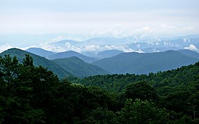
The Black Mountains are a mountain range in western North Carolina, in the southeastern United States. They are part of the Blue Ridge Province of the Southern Appalachian Mountains. The Blacks are the highest mountains in the Eastern United States.
View on Google Maps Book this experience
5 - Mount Mitchell
17 km away
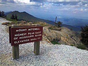
Mount Mitchell, known in Cherokee as Attakulla, is the highest peak of the Appalachian Mountains and the highest peak in mainland eastern North America.
Learn more Book this experience

6 - Mount Mitchell
17 km away
Mount Mitchell State Park is a 4,789-acre North Carolina state park in Yancey County, North Carolina in the United States. Established in 1915 by the state legislature, it became the first state park of North Carolina.
Learn more Book this experience
7 - Asheville
32 km away
Asheville is a city in, and the county seat of, Buncombe County, North Carolina, United States. Located at the confluence of the French Broad and Swannanoa rivers, it is the largest city in Western North Carolina, and the state's 11th-most populous city.
Learn more

8 - Marion
36 km away
Marion is a city in Linn County, Iowa, United States. The population was 26,294 at the 2000 census and was 34,768 in 2010, an increase of 32.2%. The city is located next to Cedar Rapids and part of the Cedar Rapids Metropolitan Statistical Area.
Learn more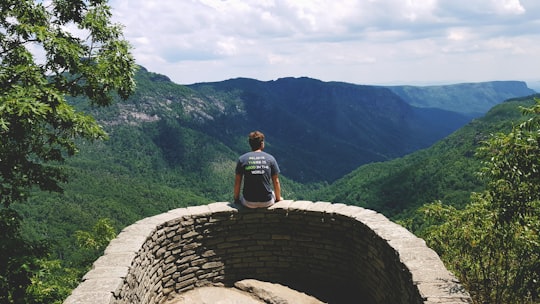
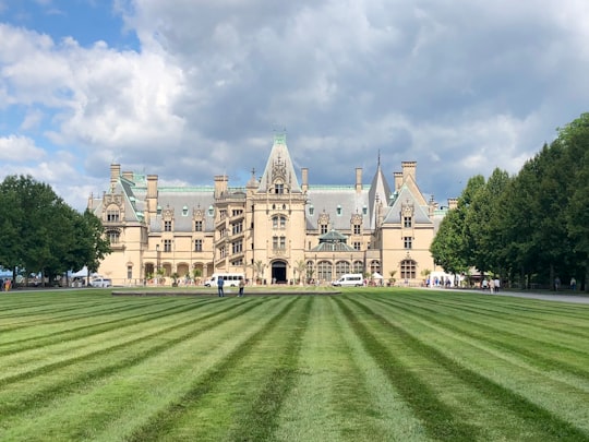
9 - Biltmore Estate
36 km away
Learn more
10 - Hawksbill Mountain
38 km away
Hawksbill Mountain is a mountain with an elevation of 4,050 feet. Marking the border between Madison County and Page County in Virginia, the summit of Hawksbill Mountain is the highest point in Shenandoah National Park, as well as the highest point in both Madison and Page counties.
Learn more Book this experience
11 - Rocky Fork State Park
41 km away
Rocky Fork State Park is a public recreation area located in Highland County, Ohio, United States. The state park's central feature is 2,080-acre Rocky Fork Lake and its 31 miles of shoreline. The lake was added to the state park system in 1950.
Learn more Book this experience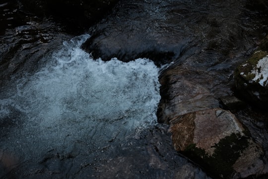
Disover the best Instagram Spots around Burnsville here
Book Tours and Activities in Burnsville
Discover the best tours and activities around Burnsville, United States and book your travel experience today with our booking partners
Plan your trip in Burnsville with AI 🤖 🗺
Roadtrips.ai is a AI powered trip planner that you can use to generate a customized trip itinerary for any destination in United States in just one clickJust write your activities preferences, budget and number of days travelling and our artificial intelligence will do the rest for you
👉 Use the AI Trip Planner
Where to Stay in Burnsville
Discover the best hotels around Burnsville, United States and book your stay today with our booking partner booking.com
More Travel spots to explore around Burnsville
Click on the pictures to learn more about the places and to get directions
Discover more travel spots to explore around Burnsville
⛰️ Hill spots ⛰️ Hill station spots 🌲 Nature reserve spotsTravel map of Burnsville
Explore popular touristic places around Burnsville